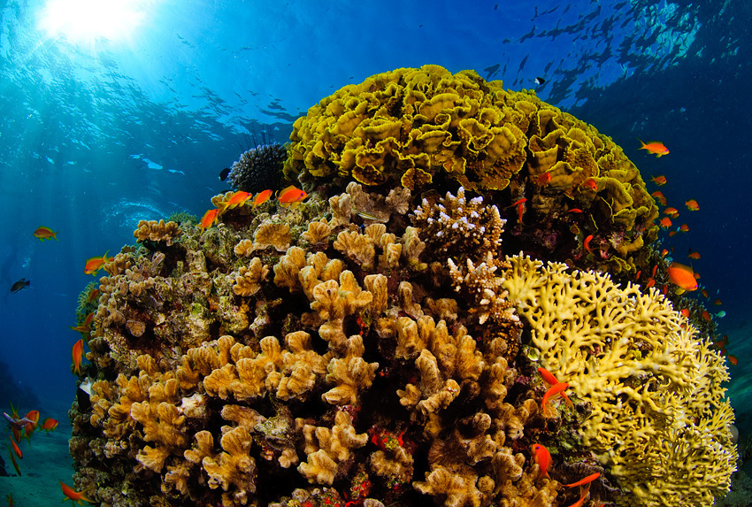
Coral reefs are being reframed from postcard ecosystems into measurable infrastructure—and the price of that measurement is starting to look like a line item in coastal resilience budgets.
In a U.S. Navy release about reef work in the U.S. Virgin Islands, Woods Hole Oceanographic Institution (WHOI) researchers described using reef ‘soundscapes’ and an autonomous underwater vehicle to identify and map biological hotspots in real time (NavSea / U.S. Navy).
Dr. T. Aran Mooney, a WHOI scientist involved in the work, said: “From the observational studies, we wanted to see if we could predict or drive these patterns to happen,” describing the shift from passive monitoring to actively testing how reef acoustic patterns form (NavSea / U.S. Navy).
The technical premise is straightforward: reefs produce distinctive biological sounds. WHOI’s Reef Solutions programme, formed in 2012, has worked to monitor those soundscapes, localise sound sources relative to an AUV, and then choose the ‘next best’ sensing locations to build maps that can guide protection and management (NavSea / U.S. Navy).
Why does this matter financially? Because the ocean is increasingly treated as the main balance-sheet risk for climate—and reefs sit at the junction of biodiversity, fisheries, tourism and coastal protection. In a Scripps Institution of Oceanography announcement tied to a UN climate conference ‘Ocean Pavilion’, Director Margaret Leinen put the relationship bluntly: “The ocean is the engine of Earth’s climate,” (Scripps Institution of Oceanography).
Leinen added a quantitative framing that is frequently cited by climate scientists: “We know that it has absorbed 90 percent of the heat produced by human activity since the dawn of the industrial age … Put simply, the ocean is climate, and the climate is the ocean.” (Scripps Institution of Oceanography).
That ocean heat signal is now showing up in mainstream monitoring. The Copernicus Marine Service said June 2026 saw record global sea-surface temperatures and that marine heatwaves affected around 82% of the global ocean—conditions that can raise bleaching risk for tropical reefs (Al Jazeera).
Better reef maps do not ‘solve’ heat stress, but they can change outcomes: they help managers prioritise enforcement, restoration, and mooring or anchoring rules; they help insurers and lenders price coastal risk; and they give funders a way to audit whether conservation dollars are actually buying resilience.
The open question is how fast monitoring can be standardised. NOAA, for example, positions its National Centers for Environmental Information as an ‘archive’ that aggregates and serves ocean datasets in consistent formats, a reminder that conservation increasingly depends on data infrastructure as much as on patrol boats (NOAA NCEI).
OceanVines exists to illuminate the inner sparks of every life we touch through our efforts in ocean conservation and education.
In the next phase of the reef economy, the competitive advantage may belong to the communities and agencies that can measure the underwater world fast enough to manage it—and transparently enough to finance it.
Together, we celebrate The Greatest Good.
#TheGreatestGood #OceanConservation #HumanityMatters #LIT #CoralReefs #OceanScience